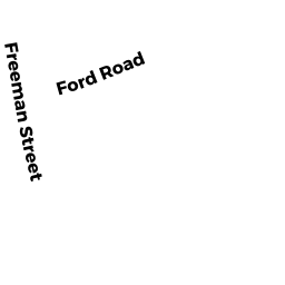
19 FREEMAN ST
Owner Information
FREEMAN JOHN M TRUSTEE
19 FREEMAN STREET
NORTON, MA 02766


Property Details
19 FREEMAN ST is classified as a Mixed Use (Primarily Residential, some Forest) (Ranch).
The primary structure on this property was built in 1945. There are 1,674ft2 of built area within this property. There is 1,674ft2 of residential/living space within this property. This property is listed as having 6 rooms.
19 FREEMAN ST is valued at $478,650. The land is valued at $233,850 and the structures are valued at $226,500. There is an additional valuation of $18,300 on this property.
The most recent deed for 19 FREEMAN ST is recorded at the local registrar in Book 19847, Page 165. 19 FREEMAN ST was last sold on Tuesday, December 27, 2011 for $100.
Assessment data from fiscal year 2021.
Flood Data
This property is partially within the A Zone (within floodplain). Approximately 7.55 acres (30.42%) of the property is within this zone.
This information is sourced from the FEMA National Flood Hazard Layer. See our full disclamer.
Broadband Internet Providers
| Provider | Type | Bandwidth (mbps) | |
|---|---|---|---|
| T-Mobile | Fixed Wireless | 25 | 3 |
| Verizon New England Inc. | DSL | 15 | 1 |
| Viasat Inc | Satellite | 100 | 3 |
| Crown Castle Fiber | Fiber | 0 | 0 |
| GCI Communication Corp. | Satellite | 0 | 0 |
| HughesNet | Satellite | 25 | 3 |
| VSAT Systems, LLC. | Satellite | 2 | 1 |
| Comcast | Cable | 1000 | 35 |
Broadband service provider data from December 2020.
Adjacent Properties
- 17 FREEMAN ST
Single Family Residential owned by FREEMAN JOHN M & DOROTHY A TRS - 0 FREEMAN ST
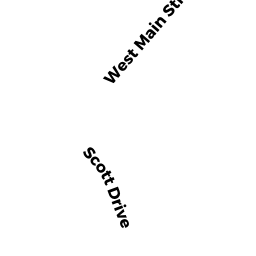
Vacant, Selectmen or City Council (Municipal) owned by TOWN OF NORTON - 0 WEST MAIN ST
Vacant, Selectmen or City Council (Municipal) owned by TOWN OF NORTON - 85 WEST MAIN ST
Residential Condominium owned by WADE JOHN D - 85 WEST MAIN ST
Residential Condominium owned by CAMPOT MARCIE - 85 WEST MAIN ST
Residential Condominium owned by NGUYET THI LE - 85 WEST MAIN ST
Residential Condominium owned by CUMMINGS REBECCA A - 85 WEST MAIN ST
Residential Condominium owned by COUTURE DANIEL A - 85 WEST MAIN ST
Residential Condominium owned by UDULUTCH ELAINE M - 91 WEST MAIN ST
Residential Condominium owned by MARCHANT DANIEL M & ABIGAL L - 91 WEST MAIN ST
Residential Condominium owned by MCDONALD JAMES - 91 WEST MAIN ST
Residential Condominium owned by LOESHER ROSAMARIE TRUSTEE - 91 WEST MAIN ST
Residential Condominium owned by GAGNON CHRISTINE D - 91 WEST MAIN ST
Residential Condominium owned by LUPIEN STEPHEN T - 91 WEST MAIN ST
Residential Condominium owned by NORTON THOMAS J